Ordinary GNSS positioning is accurate to a few meters — useless for mapping deliverables. RTK and PPK reach centimeters using the same satellites, by measuring the carrier wave itself and cancelling errors against a reference station.
- Both techniques difference the rover's observations against a base station at a known point, cancelling atmospheric and clock errors
- RTK applies corrections live over a radio or network link; PPK records raw data and solves after the flight
- PPK is more robust for aerial mapping — no link dropouts, and marginal data can be re-processed
- Centimeter camera positions eliminate most ground control points, cutting field time dramatically
The trick: measuring the carrier, not the code
Standard GNSS measures the coded signal, good to meters. Carrier-phase positioning measures the 19 cm carrier wave itself, good to millimeters — but with an unknown whole number of cycles. Resolving that ambiguity requires a second receiver at a known coordinate: the base station. Because both receivers see the same atmosphere and the same satellite clocks, differencing their observations cancels nearly everything except the vector between them.
RTK versus PPK in practice
| RTK | PPK | |
|---|---|---|
| Correction timing | Live, over datalink | After landing, in software |
| Link dependency | Continuous link required | None during flight |
| Failure mode | Accuracy lost during dropouts | Recoverable in post-processing |
| Best for | Navigation, spraying, precision hover | Mapping and survey deliverables |
The rule of thumb: if the aircraft needs the accuracy in real time (a spraying drone holding a row), use RTK. If the data needs the accuracy (camera positions for photogrammetry), PPK is safer and simpler.
What it changes for mapping
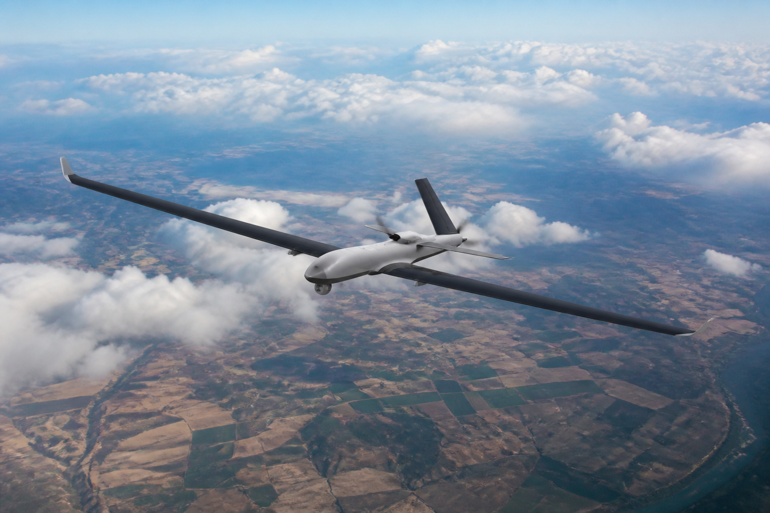
With PPK camera positions, a survey that once needed dozens of ground control points needs only a handful of checkpoints for verification. On a platform like the SkyRanger V400, that converts days of GCP fieldwork into an hour of checking — often the single biggest time saving in the whole workflow. See also How to Choose a Mapping Drone.
FAQ
Do I need my own base station?
Either a local base on a known point or a network (NTRIP/CORS) service works. Remote sites usually mean bringing your own base.
How far can the rover be from the base?
Accuracy degrades with baseline length; keep it under 30 km for reliable centimeter results, less in active ionospheric conditions.

