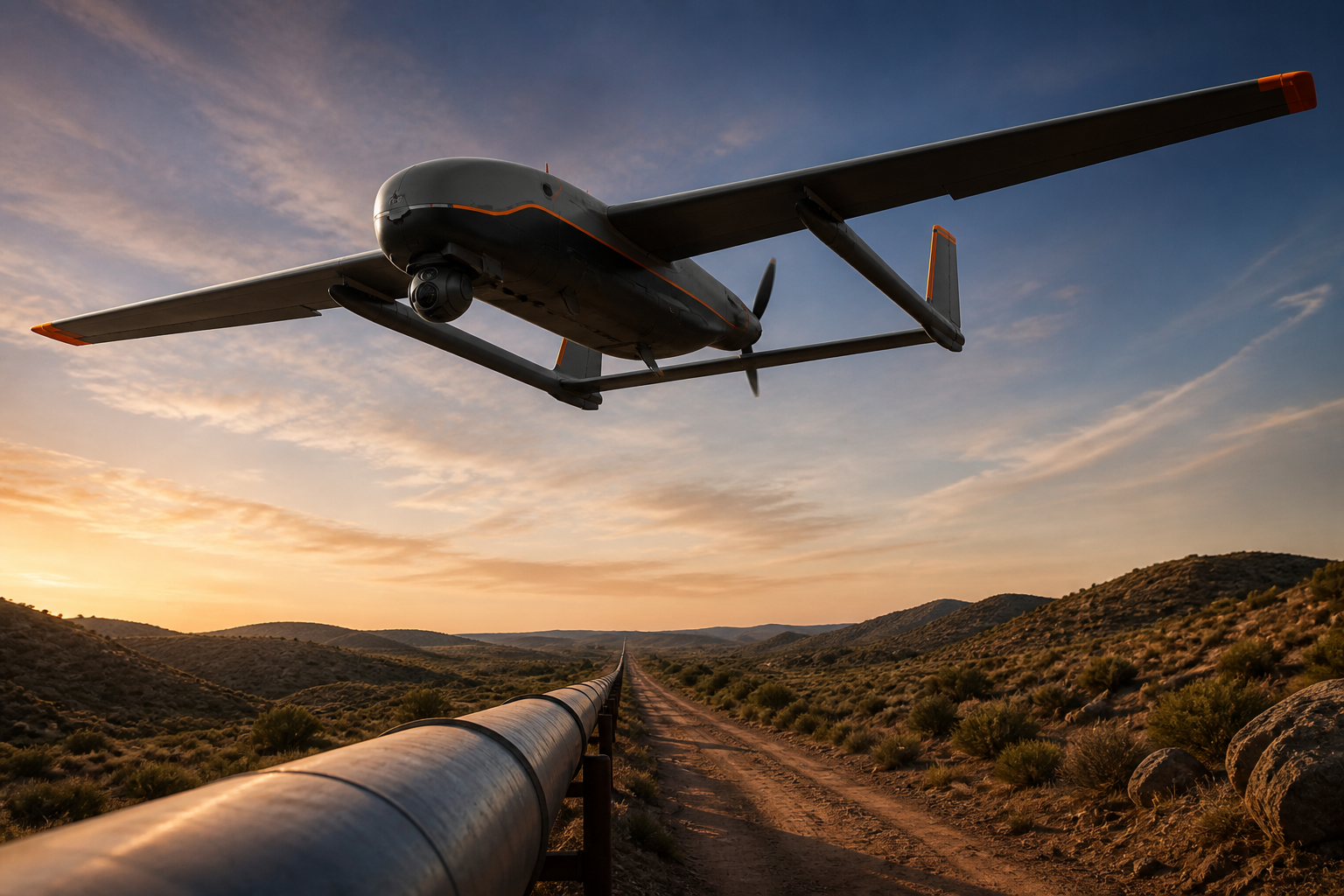
Traditional pipeline patrol is sampling — a truck or foot crew sees a fraction of the line each week. A long-range UAV inverts that: the entire line, every pass. That completeness, not speed, is what changes the economics.
- A 600 km sortie by a platform like the SkyRanger V800 replaces a week of vehicle patrol
- Dual-sensor payloads catch what matters: thermal for leaks, visible for encroachment and third-party work
- Weekly full-line coverage means anomalies are caught in days, not months
- Cost per kilometer patrolled falls by 60–80% against vehicle patrol on remote lines
Leaks: thermal tells before the ground does
Buried product leaks change surface temperature and vegetation health long before they surface visibly. A thermal pass at dawn — when contrast is highest — flags anomalies for ground verification, with coordinates accurate enough to send a crew straight to the spot.
Encroachment: the biggest preventable loss
Excavators working near the right-of-way cause a large share of pipeline incidents. Weekly imagery of the full line, compared automatically pass over pass, surfaces new construction, new access roads and equipment stockpiles while there is still time to intervene.
The operational pattern
A typical setup: the aircraft launches from a station near the line's midpoint, flies out-and-back legs alternating direction each week, and streams imagery over the datalink with satellite backup on remote segments. Two crews and one aircraft sustain weekly coverage of a 500–600 km line year-round; desert and steppe segments that were effectively unmonitored get the same coverage as the sections near town.
FAQ
What about no-fly and border segments?
Long-range patrol requires airspace filing along the full corridor; segments near borders or airports get planned exclusions and handover procedures. Build the approvals into the route library once and reuse them.
Does this replace ground patrol entirely?
No — it re-tasks it. Ground crews stop driving the whole line and instead respond to flagged coordinates, which is both cheaper and faster.

