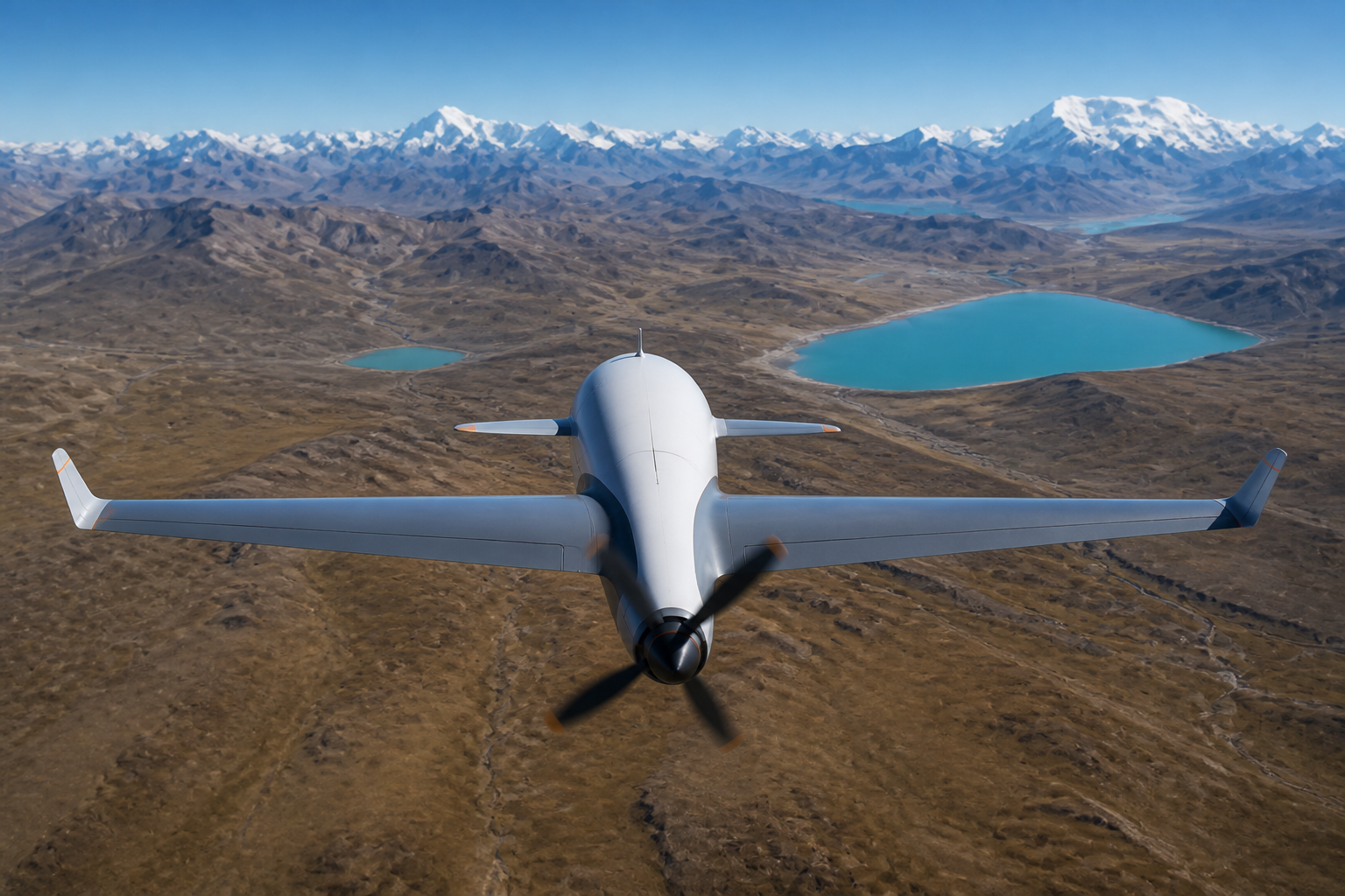
The aircraft is a truck; the payload is the business. Choosing sensors before choosing the airframe is the correct order — and these are the three families that cover most industrial missions.
- EO/IR gimbals answer "what is happening there" — patrol, inspection, search
- Multispectral cameras answer "how healthy is it" — crops, forests, water
- Magnetometers answer "what is underground" — minerals, pipelines, ordnance
- Weight, power and vibration isolation decide integration success more than the sensor spec sheet
EO/IR gimbals: the generalist
A stabilized ball combining a zoom visible camera with a thermal imager handles patrol, inspection and search. The specs that matter: optical zoom range (30× reads a license plate from patrol altitude), thermal resolution (640×512 is the working minimum), and stabilization quality — an unstable image at zoom is worthless. On long-endurance platforms like the SkyRanger S300, AI-assisted detection turns the gimbal from a camera into a tireless observer.
Multispectral: seeing plant stress before eyes can
Crop stress shifts near-infrared reflectance days before leaves look wrong. A multispectral camera capturing red-edge and NIR bands produces vegetation index maps that guide irrigation, fertilization and pest response. They are light (200–500 g), making them ideal companions on mapping flights — but they demand calibration panels and consistent sun angles to yield comparable data across dates.
Magnetometers: surveying what cannot be seen
A towed or wing-mounted magnetometer maps tiny variations in the Earth's magnetic field, revealing mineral bodies, buried pipelines and ferrous objects. Flying magnetometry demands what ground crews cannot deliver: perfectly straight, evenly spaced lines at constant height — which is exactly what an autopilot does all day. Platform magnetic cleanliness (motor and wiring interference) is the integration battle; it is why survey platforms like the SkyRanger C900 use isolated sensor bays.
Combining payloads
Multi-bay platforms fly imaging and sensing payloads together — a mapping camera plus multispectral is the classic agriculture pairing. Check the aircraft's payload budget honestly: every kilogram of sensor is minutes of endurance, and the range-versus-payload tables in each product's specifications exist precisely for this planning.
FAQ
Should I buy the sensor with the aircraft or separately?
With the aircraft, if the vendor offers factory integration — mounting, power, vibration isolation and data links are where third-party integrations go wrong.

