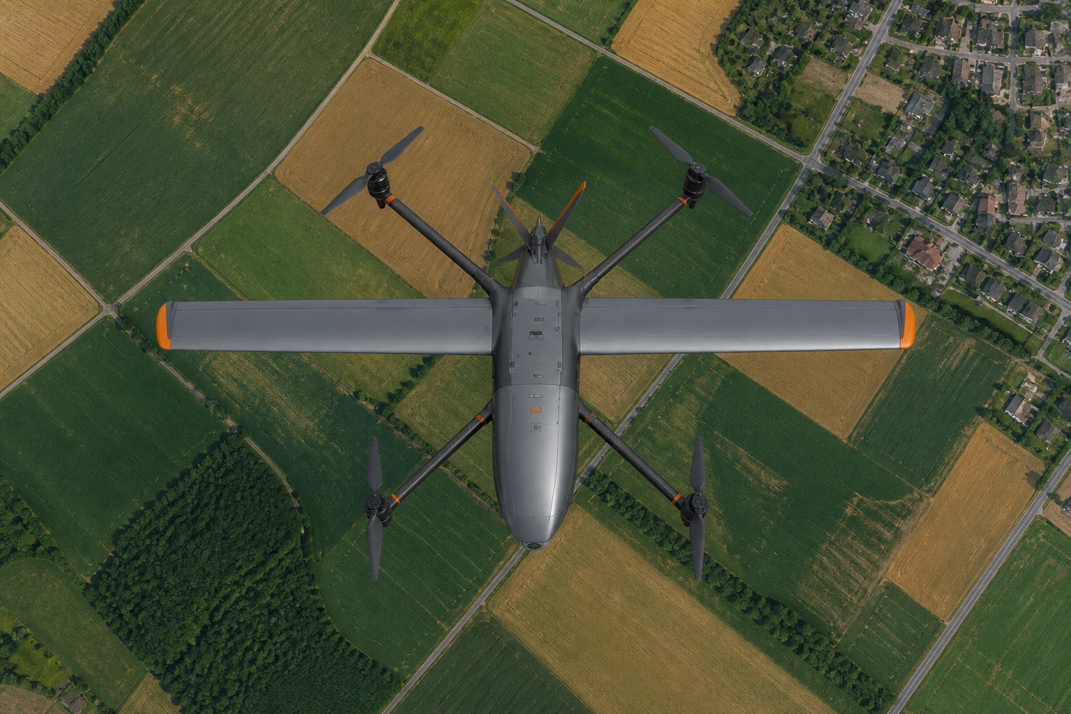
Every mapping drone is a compromise between three things: how long it flies, how precisely it positions, and what it carries. Getting the weighting right for your project profile matters more than any single spec.
- Endurance sets daily coverage: a 6–8 h VTOL fixed-wing maps 100+ km² per sortie; a multirotor manages 2–5 km²
- PPK beats RTK for mapping reliability — no live link required, and accuracy survives signal dropouts
- A 61 MP full-frame camera at 3 cm GSD is the current sweet spot for 1:500 deliverables
- Buy for the project you do most weeks, not the biggest one you ever bid on
Endurance: the coverage multiplier
Coverage per day is endurance × speed × swath, minus turns and transit. That is why platform class dominates: a SkyRanger V400 flying 8 hours covers in one day what a quadcopter needs two weeks to finish. If your typical job is under 5 km², a small platform like the SkyRanger S200 is more economical; above 50 km², a long-endurance VTOL is the only sensible tool.
Accuracy: PPK first, GCPs as insurance
RTK corrects position live over a radio link; PPK records raw observations and solves them after landing. For mapping, PPK is the more robust choice — a lost link during flight costs you nothing. Whichever you choose, lay a handful of checkpoints on your first projects to validate the chain end to end. For the underlying technology, see RTK and PPK Explained: Where Centimeter Accuracy Comes From.
Payload: match the sensor to the deliverable
| Deliverable | Sensor | Notes |
|---|---|---|
| Orthophoto / 1:500 line map | 61 MP full-frame | 3 cm GSD at ~250 m AGL |
| 3D mesh / oblique | 5-lens oblique camera | Heavier — check payload budget |
| Terrain under canopy | LiDAR | Needs strong PPK/INS integration |
| Crop / vegetation analysis | Multispectral | Light payload, frequent revisits |
A worked decision
A county land-titling project: 300 km², 1:1000 scale, three months. That demands 100+ km² per week with margin for weather — a VTOL fixed-wing with PPK and a full-frame camera, flown from any clearing near the block. The same logic scales down: a 4 km² quarry survey every month is a job for a compact fixed-wing or even a multirotor with RTK.
FAQ
Do I still need ground control points with PPK?
Not for routine work once your workflow is validated — but keep a few checkpoints for quality assurance on deliverables that carry legal weight.
Is a bigger camera always better?
No. A heavier camera cuts endurance and may force a lower flying height for the same GSD. Balance sensor mass against the coverage you lose.

